


Field toolkit
Useful where the work happens
- GPS recording with live accuracy and weak-fix markers
- Downloaded topographic maps and offline street search
- GPX course import, follow mode and automatic race laps
- Previous-track overlays, breadcrumbs and track editing
- Points of interest, measured boundaries and field notes
- GPX, GeoJSON, KML and Google KML exports
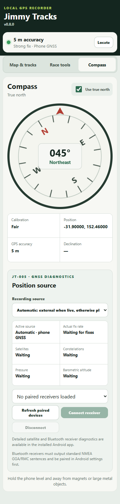
- Compass, satellite and Android GNSS diagnostics
- Optional standard Bluetooth NMEA receiver support